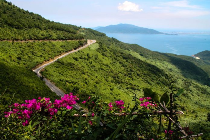
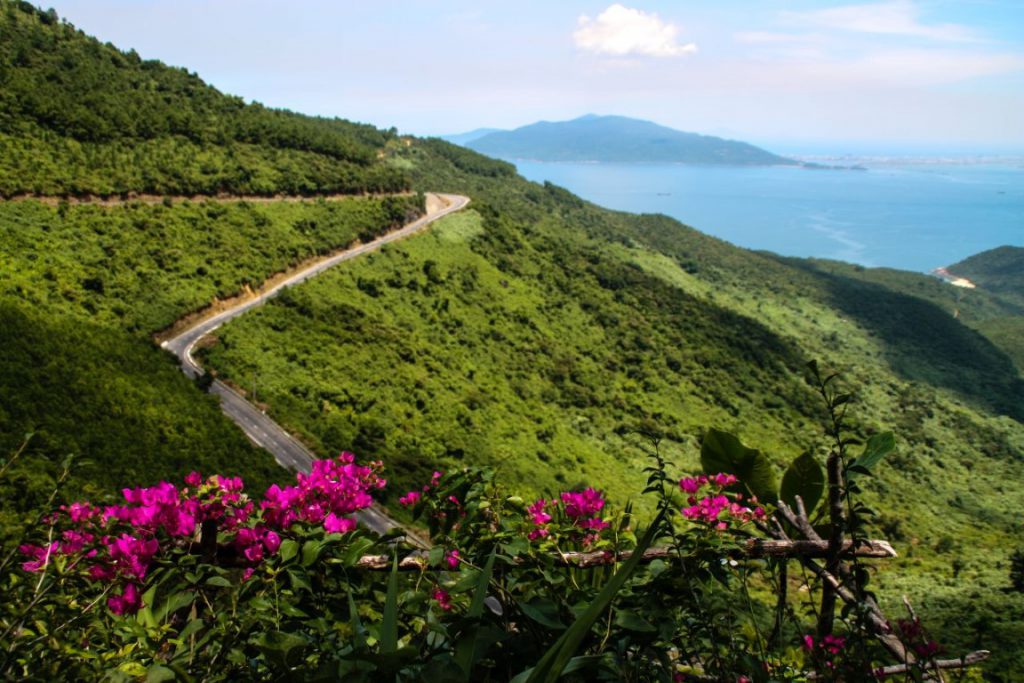
At 20km long and 500m above sea level, the winding Hai Van Pass has been described as “a deserted ribbon of perfection – one of the best coast roads in the world”.
The Hai Van Pass carves its way through the Bach Ma mountain range (part of the larger Truong Son mountain range), the natural boundary between Thua Thien Hue Province (whose capital is the former imperial city of Hue), and the beach destination of Danang.
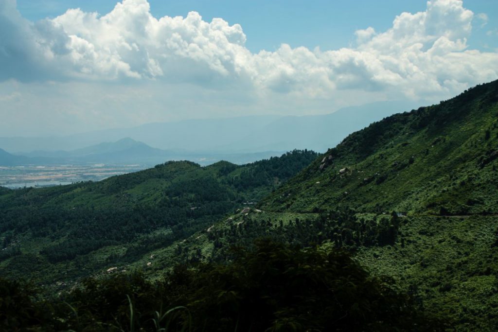
In Vietnamese, “Hai Van” means “Ocean Cloud”, as the top of the pass, with forested hills on one side and the East Sea on the other, is often covered in clouds.
Historically, the area around the Hai Van Pass belonged to the Champa Kingdom, a seafaring nation that ruled over parts of coastal Vietnam. In 1306, the Champa king gave the land as part of his dowry to Princess Huyen Tran.
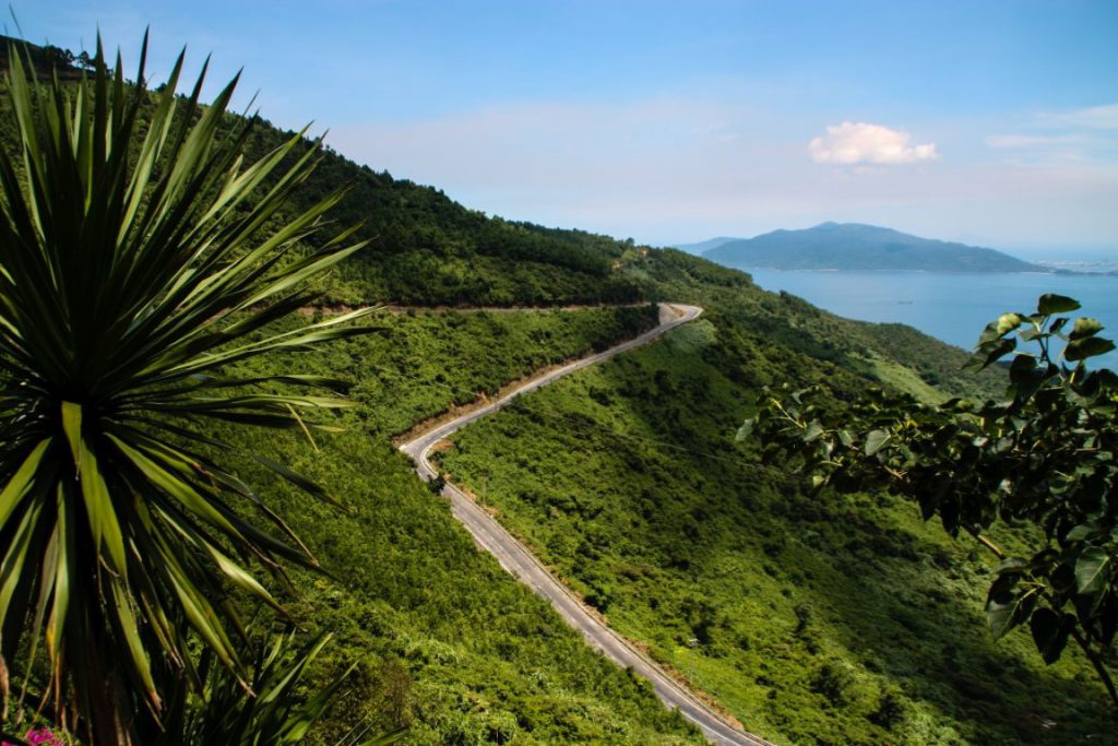
Fast forward six centuries, and it was another conquering power, this time colonial France, who put their stamp on the area, adding a railway line through the mountains to supplement the winding road where travelers had to contend with wild animals, deadly curves, and robbers.
Later, in the 1960s, the US Army widened the road which was still considered one of the most dangerous in Vietnam for its treacherous switchbacks and blind curves, leading to numerous accidents which sent vehicles plunging down the cliffside.
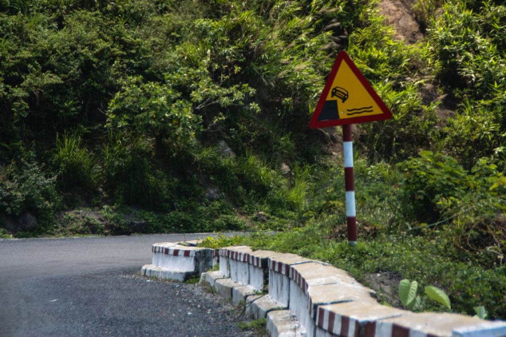
So began the construction of the Hai Van Tunnel which went into operation in 2005, creating safe passage for vehicles traveling the north-south route. Nowadays, most cars and trucks use the tunnel carved through the mountain, but for motorbike enthusiasts, driving the Hai Van Pass is still a bucket list experience.
Travelers on the Hai Van Pass can approach from either Hue in the north or Danang and Hoi An in the south. Navigate the 45-degree slope and the many switchbacks and be rewarded with brilliant views from the top: the fishing village of Lang Co on the Hue side of the pass and the city of Danang and the Cham islands to the south, all surrounded by the forests of the Bach Ma mountain range and topped by big blue sky.
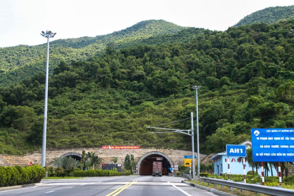
If traveling by motorbike, there is a row of coffee and souvenir shops at the very top of the pass where you can sit and enjoy the views. There’s also an ancient gate at the top known as “Hai Van Quan”, or the “Hai Van Gate”.
Built in 1826 by King Minh Mang of the Nguyen Dynasty as part of a complex of defensive structures to protect the imperial city of Hue, the 6m-high gate once had “The World’s Most Marvelous Wonder” inscribed on it.
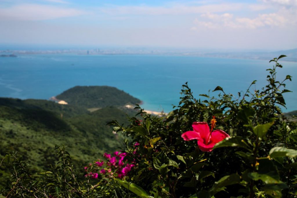
Today, it’s still a popular attraction and a photogenic backdrop for many a wedding shoot. While the gate was restored in 1926, its 2017 naming as a national relic and more recent excavations have prompted the local government to undertake further restoration in 2020.
If you find yourself traveling by motorbike, the Hai Van Pass is most scenic at dawn and dusk. However, take your time driving, especially in foggy conditions, and take advantage of the mirrors installed at most of the curves to watch for oncoming traffic.
Or, for unique bird’s eye views of the Hai Van Pass as it zigzags through the mountains with the forest on one side and the sea on the other, Hai Au Aviation offers 40-minute scheduled flights between Hue and Danang with gorgeous views of the South-Central Vietnamese coastline, including the stunning Hai Van Pass.


